Kansas is a state in the Midwestern United States. Its capital is Topeka and its largest city is Wichita. It is a landlocked state bordered by Nebraska to the north; Missouri to the east; Oklahoma to the south; and Colorado to the west. Kansas is named after the Kansas River, which in turn was named after the Kansa Native Americans who lived along its banks.
 |
| Houses and buildings around Lawrence, Kansas from 1947 to 1949 |
For thousands of years, what is now Kansas was home to numerous and diverse Native American tribes. Tribes in the eastern part of the state generally lived in villages along the river valleys. Tribes in the western part of the state were semi-nomadic and hunted large herds of bison.
Kansas, which has an area of 82,278 square miles (213,100 square kilometers) is the 15th-largest state by area and is the 34th most-populous of the 50 states. Residents of Kansas are called Kansans. Mount Sunflower is Kansas's highest point at 4,039 feet (1,231 meters).
These amazing photos from
Lou Horacek were taken by Leo Horacek that show houses and buildings around Lawrence, Kansas (and maybe also in the Topeka area) from 1947 to 1949.
 |
| 9th and Alabama St., Lawrence, Kansas, November 1947 |
 |
| 304 Indiana St., Lawrence, Kansas, November 1947 |
 |
| 603 Ohio St., Lawrence, Kansas, circa 1947 |
 |
| 615 Louisiana St., Lawrence, Kansas, November 1947 |
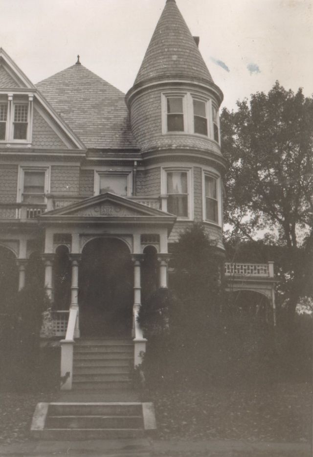 |
| 701 Louisiana St., Lawrence, Kansas, November 1947 |
 |
| Barn, Lawrence, Kansas, October 1947 |
 |
| BPOE, 700 Vermont St., Lawrence, Kansas, November 1947 |
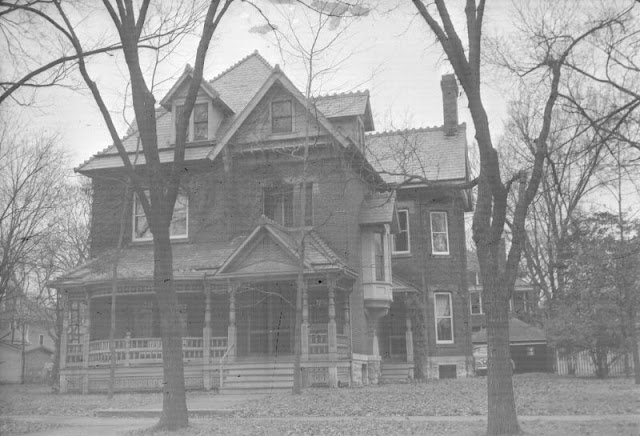 |
| Brick Victorian, 600 Block of Louisiana St., Lawrence, Kansas, November 1947 |
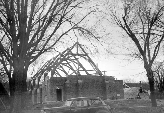 |
| Church construction (probably this would be Central United Methodist Church), 15th and Massachusetts, Lawrence, Kansas, December 1947 |
 |
| Empty Farmhouse on Clinton Road past Lone Star turn, Douglas County, Kansas, October 1947 |
 |
| English Lutheran Church, 11th St. and New Hampshire St., Lawrence, Kansas, November 1947 |
 |
| House with gingerbread porch, 700 Block of Vermont St., Lawrence, Kansas, November 1947 |
 |
| Lane University / Territorial Capitol, Lecompton, Kansas, October 1947 |
 |
| Lawrence National Bank Building, 7th and Massachusetts, Lawrence, Kansas, November 1947 |
 |
| McLouth Baptist Church, McLouth, Kansas, November 1947 |
 |
| Pony Creek School, No. 37, somewhere in the Lawrence-Topeka, Kansas, November 1947 |
 |
| School District 38, Southeast of Topeka, near Shawnee Lake, Kansas, November 1947 |
 |
| School District 48 on Red Star Road from Topeka to Lawrence, Kansas, November 1947 |
 |
| School No 78, Highway 40, Northwest of Lawrence, Kansas, November 1947 |
 |
| School, Northwest of Lawrence, Kansas, 1947 |
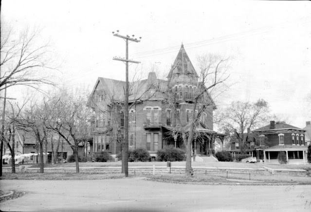 |
| The Sweet Mansion, 3rd and Topeka Blvd., Topeka, Kansas, November 1947 |
 |
| Victorian house on 6th St., between Ohio and Louisiana St., Lawrence, Kansas, November 1947 |
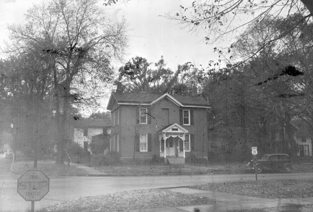 |
| Victorian house. Road sign is for US 59 and K-10. Somewhere on 6th Street, Lawrence, Kansas, November 1947 |
 |
| Vinland Church, Kansas, November 1947 |
 |
| Wellman Church, Kansas, November 1947 |
 |
| St Joseph Church, Topeka, Kansas, January 1948 |
 |
| Baker's House, 1655 Mississippi St., Lawrence, Kansas, 1949 |
 |
| Barn, Douglas County, Kansas, 1949 |
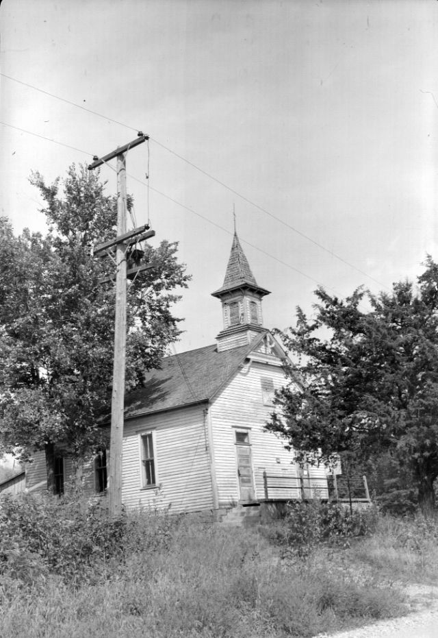 |
| Church, somewhere in the Lawrence-Topeka, Kansas, 1949 |
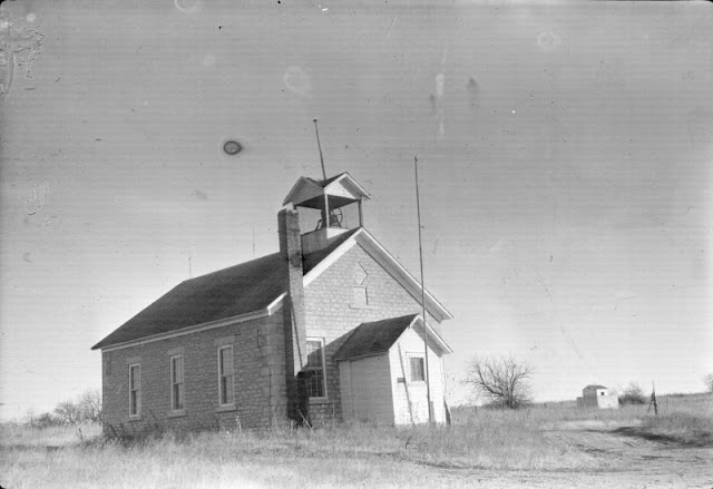 |
| District 62 School, Douglas County, Kansas, 1949 |
 |
| Italianate farmhouse, Lawrence, Kansas, 1949 |
 |
| Kansas Church, Douglas County, 1949 |
 |
| Methodist Episcopal Church near Berryton, Kansas, circa 1949 |
 |
| Nickerson House, Lawrence, Kansas, 1949 |
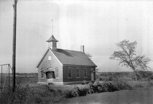 |
| Schoolhouse, Douglas County, Kansas, 1949 |
 |
| Stone barn, somewhere near Lawrence, Kansas, 1949 |
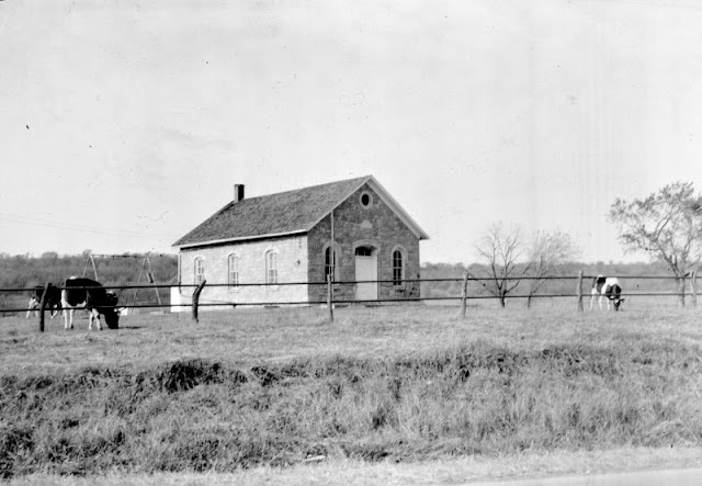 |
| Stone schoolhouse, around Lawrence, Kansas, 1949 |
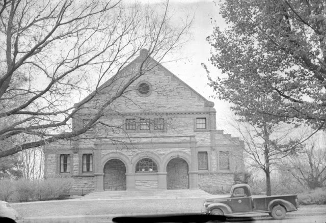 |
| Thayer Museum (Spooner Hall), Lawrence, Kansas, 1949 |
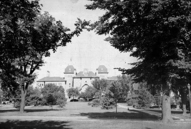 |
| University of Kansas, Lawrence, Kansas, 1949 |
 |
| Watkins Bank Building, Lawrence, Kansas, 1949 |


0 comments:
Post a Comment