In the winter of 1909–1910, Paris and the surrounding area experienced higher than normal rainfall which saturated the ground and filled rivers to overflowing. In January 1910, Parisians were preoccupied with daily life and lulled into a false sense of security because the Seine's waters level had risen and fallen again in December. Consequently, they largely ignored reports of mudslides and flooding occurring upriver.
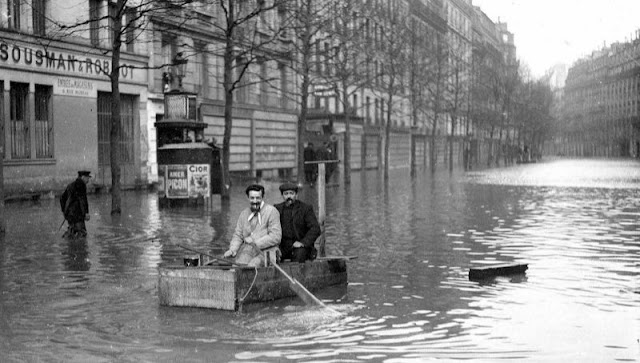 |
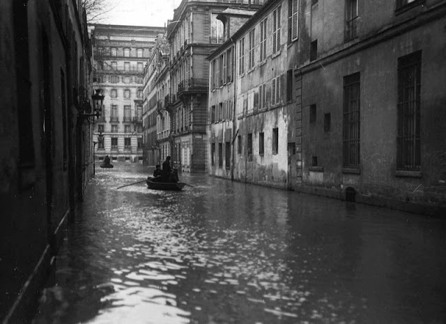
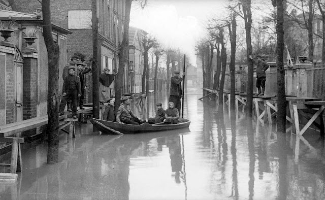
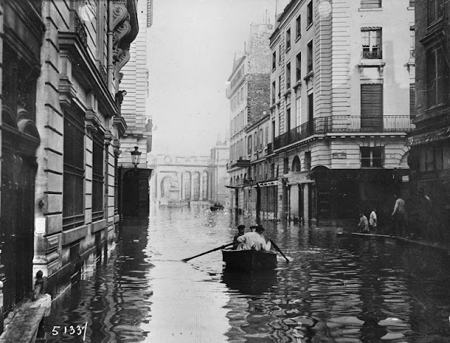
| Two men travel down the street in an improvised boat. |
They were also slow to notice warnings signs within the city as the Seine's water level rose eight meters higher than normal, its water began to flow much faster than normal, and large amounts of debris appeared. By late January, the Seine River flooded Paris when water pushed upwards from overflowing sewers and subway tunnels, then seeped into basements through fully saturated soil and from the sewer system that got backed up, which led to the basements of several buildings sustaining damage.
The waters did not overflow the river's banks within the city, but flooded Paris through tunnels, sewers, and drains. In neighbouring towns both east and west of the capital, the river rose above its banks and flooded the surrounding terrain directly.
 |
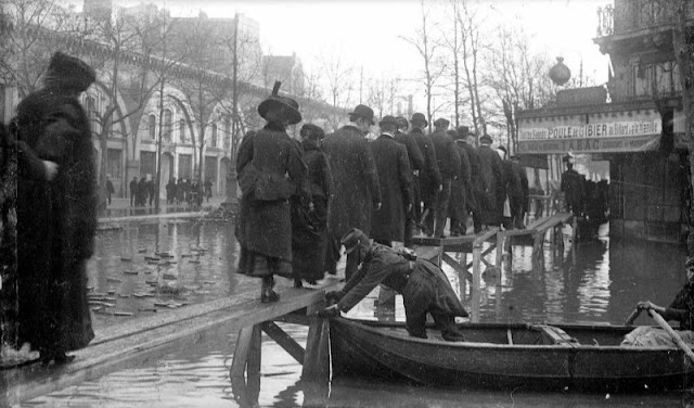
| People gingerly cross the street on a wooden plank. |
Over the course of the following week, thousands of Parisians evacuated their homes as water infiltrated buildings and streets throughout the city, shutting down much basic infrastructure. The infrastructure was more vulnerable to flooding because most of it was built within the sewage system in order to avoid cluttering the streets.
Police, firefighters, and soldiers moved through waterlogged streets in boats to rescue stranded residents from second-story windows and to distribute aid. Refugees gathered in makeshift shelters in churches, schools, and government buildings. Once water invaded the Gare d'Orsay rail terminal, its tracks soon sat under more than a metre of water. To continue moving throughout the city, residents traveled by boat or across a series of wooden walkways built by government engineers and civilians.
 |
| Becoming Venice. |
On 28 January the water reached its maximum height at 8.62 metres (28.28 feet) above its normal level. The flooding lasted nearly a week, according to one report.
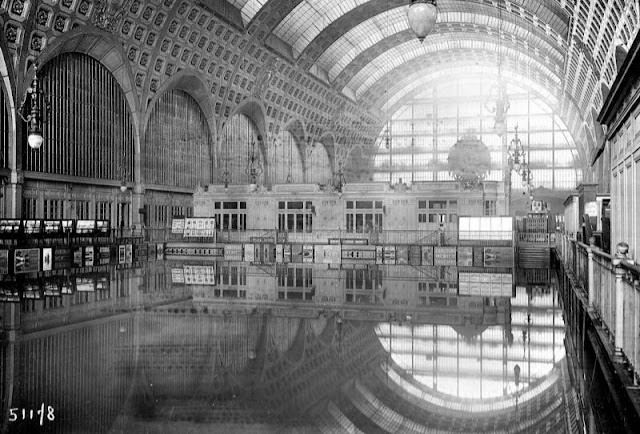 |
| The interior of Gare d’Orsay. |
 |
| Avenue Daumesnil. |
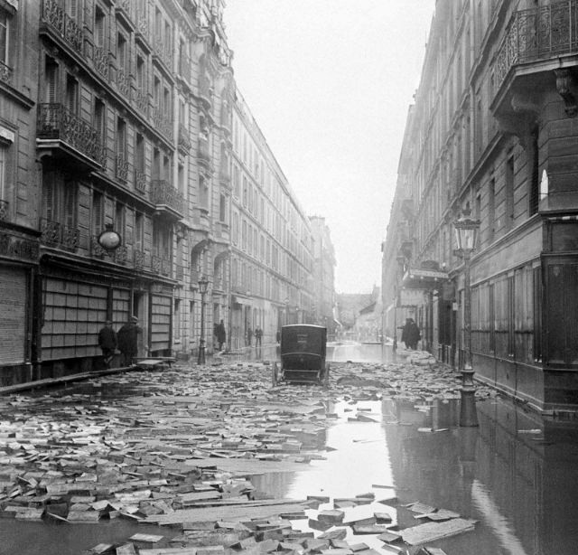 |
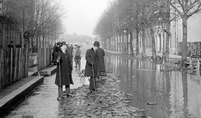
| Wooden paving blocks are scattered on the ground, which is still covered with water. A carriage sits abandoned. |
 |
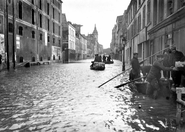
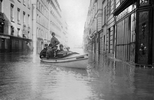
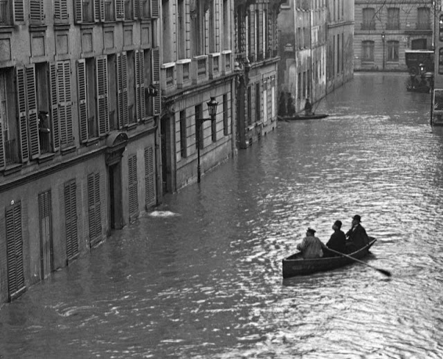
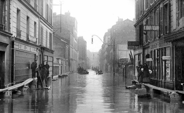
| Rowing down the street in Poitiers (VIIth arrondissement). |
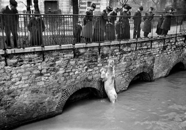 |
| A polar bear in the flooded bear enclosure in the Botanical Gardens. |
 |
| A street of the Universite (VIIth arrondissement). |
 |
| Avenue Daumesnil. |
 |
| Boulevard Saint Germain. |
 |
| A Parisian suburb. |
 |
| Three men talking to people at first floor windows. |
 |
| A uniformed man punts a boat as people at first floor windows look on. |
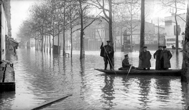 |
| Boulevard Diderot, XII arrondissement. |
 |
| The Paris-Limoges express at the station in Choisy-le-Roi (Val-de-Marne). |
 |
| A street of Bourgogne (VIIth arrondissement). |
 |
| In front of Gare Saint-Lazare. |
 |
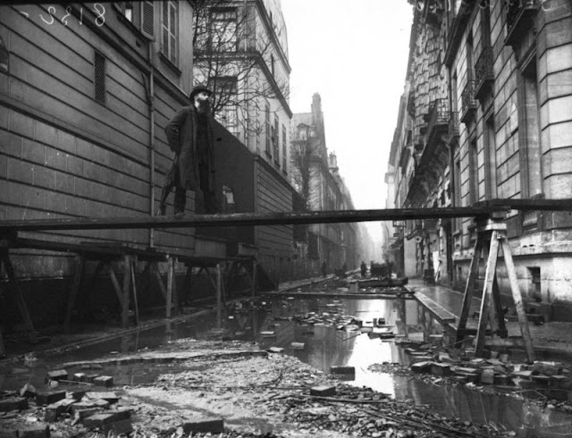
| The army lays down a wooden walkway. |
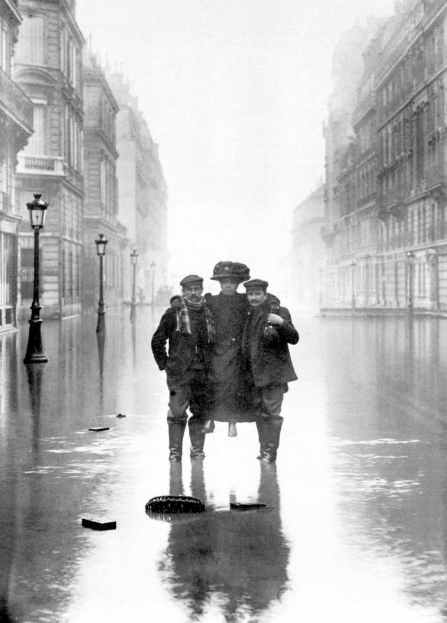 |
| A woman supported by two men. |
 |
| People skirt the edge of the street on improvised pathways. |
 |
| A bearded man stands on a high walkway. |
 |
| Crossing. |
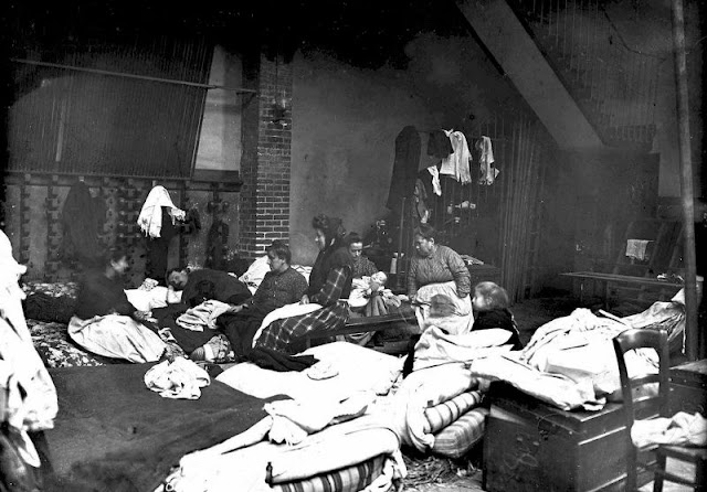 |
| A shelter in a gymnasium. |
(via National Library of France)


0 comments:
Post a Comment