The Black Forest is a large forested mountain range in south-west Germany, in the state of Baden-Württemberg, bounded by the Rhine valley to the west and south and close to the borders with France and Switzerland. Its highest peak is the Feldberg with an elevation of 1,493 metres (4,898 ft) above sea level.
 |
| Horb |
Historically, the area was known for forestry and the mining of ore deposits, but tourism has now become the primary industry. The Black Forest is mainly rural, with many scattered villages and a few large towns such as Altensteig, Freiberg, Staufen, Baden-Baden, Haslach, Schiltachand and Gengenbach.
 |
| Laufenburg |
Tradition and custom are celebrated in many places in the form of annual festivities. The forest is best known for its typical farmhouses with their sweeping half-hipped roofs, its Black Forest gâteaus, Black Forest ham, Black Forest gnomes, Kirschwasser and the cuckoo clock. There are also several ruined military fortifications dating back to the 17th century.
These stunning autochromes were captured by an unknown photographer who was sent to document the area around 1910. Take a look:
 |
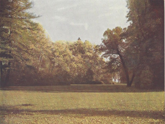
| Wildsee |
 |
| Donaueschingen |
 |
| Bad Säckingen |
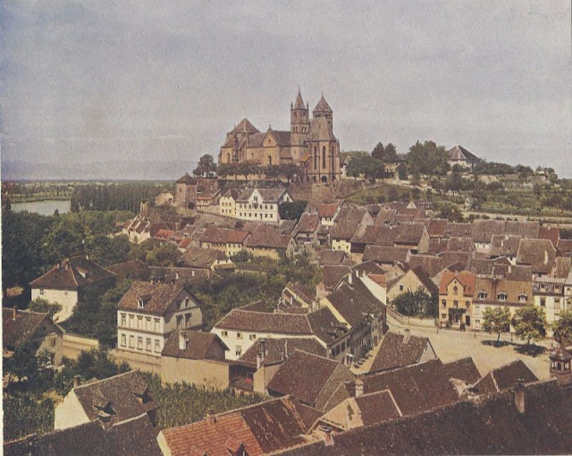 |
| Alt-Breisach |
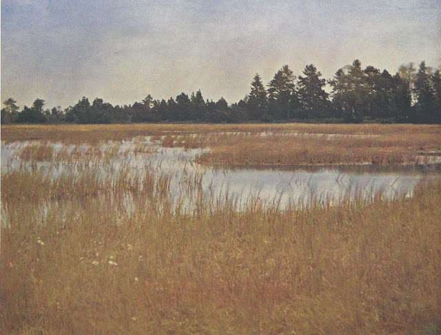 |
| Hornsee |
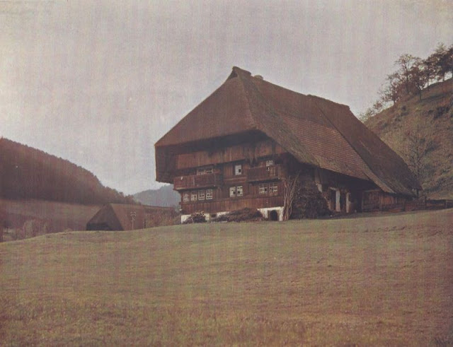 |
| Schwarzwaldhaus (Gutachtal) |
 |
| Triberger Wasserfall |
 |
| Baden-Baden |
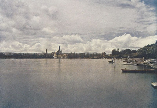 |
| Konstanz |
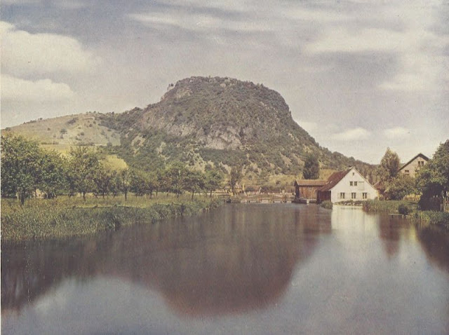 |
| Hohentwiel |
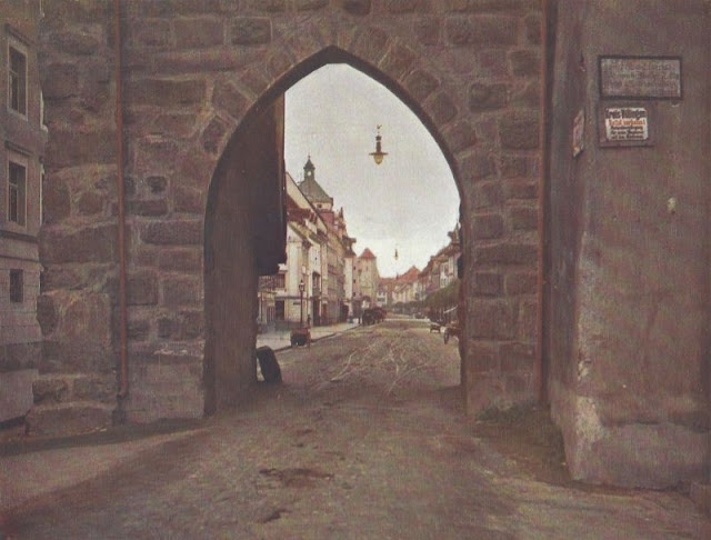 |
| Villingen |
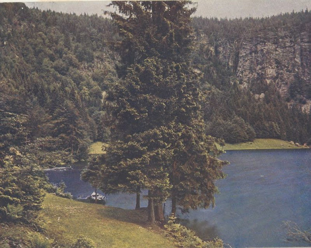 |
| Feldsee |
 |
| The Feldberg seen from the Schauinsland |
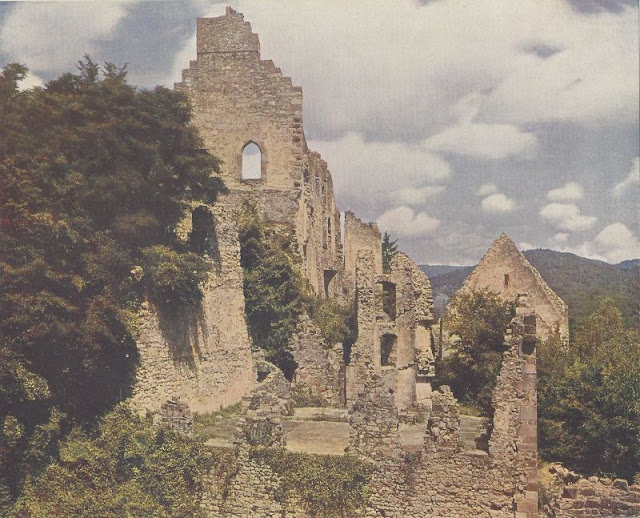 |
| Hochburg |
 |
| Hornberg |
 |
| Feldbergwiese |
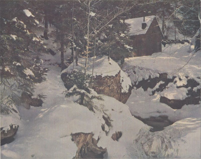 |
| Der Schwarzwald in Farbenphothographien |
 |
| Peterstaler Tracht |


0 comments:
Post a Comment