Southbridge is a city in Worcester County, Massachusetts, United States. Although Southbridge has a city form of government, it is legally known as the Town of Southbridge. The city has a total area of 20.9 square miles (54 km2), of which 20.4 square miles (53 km2) is land and 0.5 square miles (1.3 km2), or 2.40%, is water. Southbridge is drained by the Quinebaug River.
Southbridge was formed out of portions of three of its neighboring towns: Sturbridge to the west, Charlton to the north, and Dudley to the east. The other neighboring town is Woodstock, Connecticut to the south.
Southbridge has a long history of manufacturing optical products, earning it the unofficial title "Eye of the Commonwealth", in reference to the Commonwealth of Massachusetts.
By the early 1960s, the mill town had a movie theatre, an AM radio station (WESO), and an airport. New immigrants from Puerto Rico, Laos, and Vietnam began arriving in the 1970s and 1980s, and the town now has a significant Hispanic and Puerto Rican population.
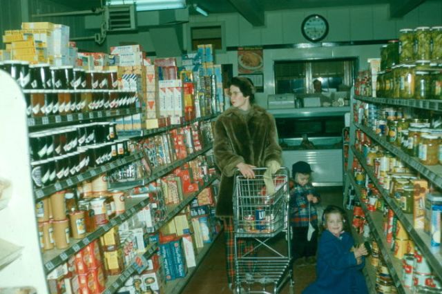
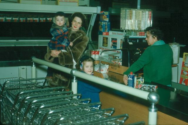
These vintage photos from
dickwhitney were taken by Don Whitney that show the inside of stores in Southbridge, Massachusetts in 1953 and 1954.
 |
| 1953 in Foley's News - Ammidown Building on Main St (Now Savers Coop) |
 |
| 1953 in Foley's News - Ammidown Building on Main St (Now Savers Coop) |
 |
| Woolworths Dept Store, Main St, Southbridge |
 |
| Paquette Stationery, Main St, Southbridge |
 |
| First National Grocery Store, Main St, Southbridge |
 |
| South Street Market, South Street |
 |
| South Street Market, South Street |
 |
| Mitch Dune in his barber shop cutting my hair in 1954 |
 |
| A young George Vasil getting his hair cut by Marcy (Massimo) Pettinelli |
 |
| Mitch Dune's shop was located on Central Street. According to Phil Pettinelli (Marcy's son): The space had an entrance from what is now the Savers parking lot, behind the current sports card store and before getting to The Corner Pocket |
(Photos © Don Whitney)


There was a woman and girls clothing store there during the 60-70s. Does anyone remember the name and or the owner. I know that I received clothes from her
ReplyDelete